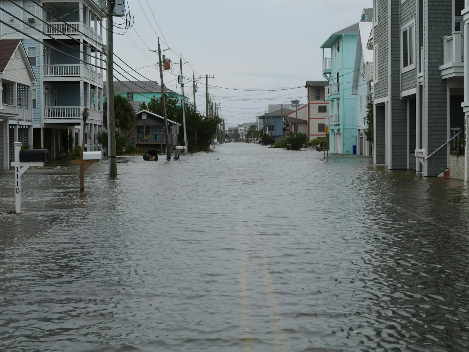
Free flood risk tools for U.S. homes
Know your flood risk before the water rises.
Your FEMA flood zone, live flood alerts, and how the nearest rivers compare with their flood stages, for any U.S. address. Built on public government data, with plain-English explanations.
Flood risk lookup
Enter a U.S. street address to see its FEMA flood zone, any flood alerts in effect, and nearby river gauges. A ZIP code alone shows alerts and gauges, but a flood zone needs an address.
Flood zones: FEMA National Flood Hazard Layer. Alerts: National Weather Service. River gauges and flood stages: NOAA National Water Prediction Service. Address locations: U.S. Census Bureau Geocoder. Base map: USGS The National Map. All fetched live when you search. Flood.global is independent and not affiliated with any of these agencies. This is not an official flood zone determination.
What the lookup tells you
- Your flood zone. The zone on FEMA's current flood map at your address, what it means, and whether a lender would require flood insurance.
- Flood alerts now. Any flood watch, warning or advisory the National Weather Service has issued for your location, word for word.
- Nearby rivers. River gauges near you, their latest level, and whether they're at or forecast to reach flood stage.
Flooding doesn't stop at the lines on a map. Tides, heavy rain and blocked drains flood streets outside high-risk zones too, so it's worth checking even if you think you're safe.